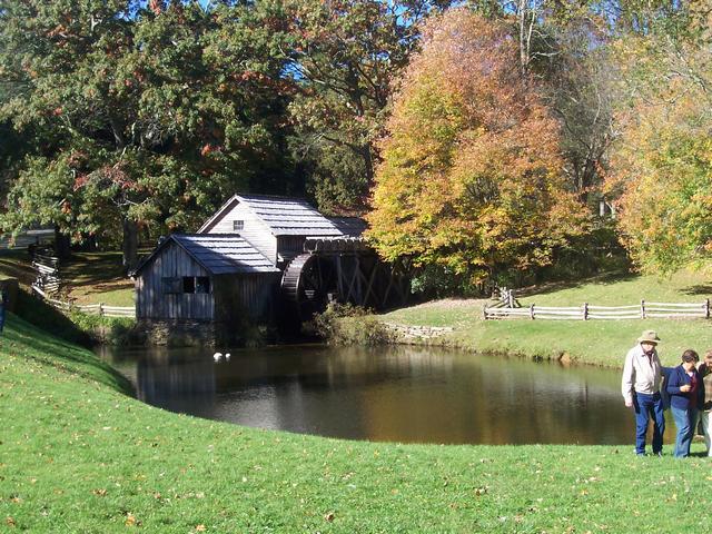
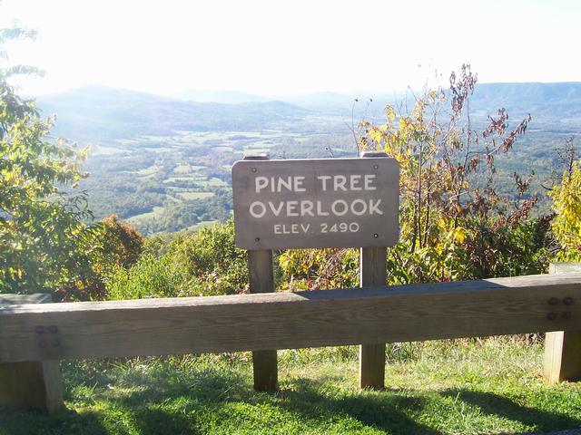
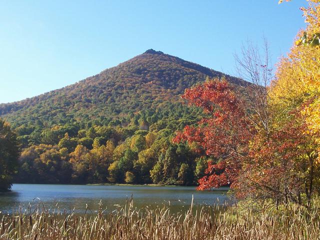
The Blue Ridge Parkway Road Trip October 12
- 14, 2006
Navagation notes: Clicking on a link below (either photo or text) will
take you to a photo gallery for a segment of the Blue Ridge Parkway in North
Carolina and Virginia. Galleries will open in their own tab. Close that tab to return here.
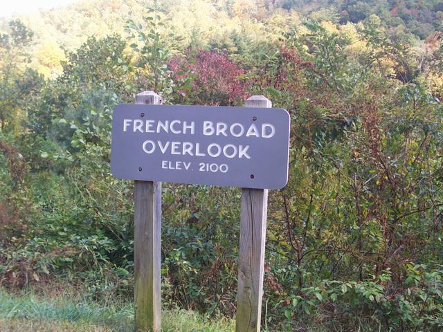
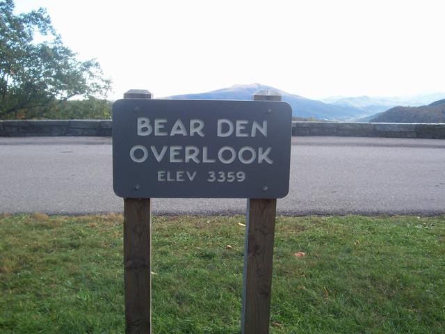
The location names refer to the end point for that
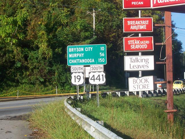
particular gallery - except for Cherokee, NC which refers to
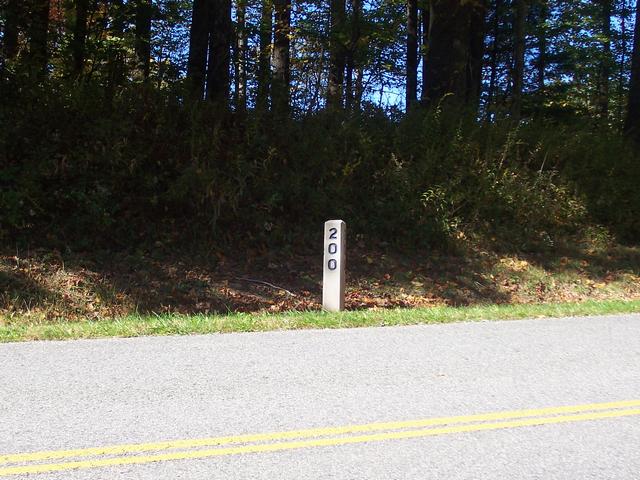
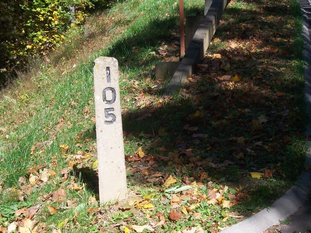
the start point of the trip. Mile Posts (MPxxx) are approximate.
Each image page will have three arrows at the top of the
page. The left arrow will take you to the previous image in the gallery. The
up arrow will take you to the gallery index page. The right arrow will take
you to the next image in the gallery. On each index page will be links to
the previous gallery by name, this page (referred to as BRP Home) and the
next gallery by name.